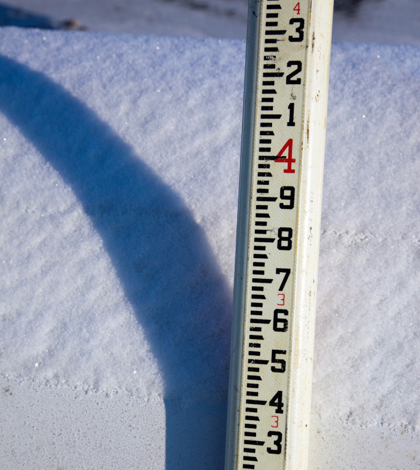
With winter storms having deluged parts of the state and more rain and snow predicted for the near future, the state’s Department of Water Resources (DWR) has increased their estimate of allocations from the State Water Project (SWP). DWR has raised the anticipated allocation from last month’s 45 percent to now 60 percent of most requests for the 29 public agencies served by the SWP.
Originally, DWR estimated it would be able to deliver just 20 percent of the 4.1 million acre-feet requested by the agencies served by the SWP. December’s storms allowed DWR to estimate allocations to 45 percent. The announcement this week of the increase to 60 percent is the result of atmospheric river storms which have filled many of the reservoirs in northern California and caused flood waters and mudslides in various locations throughout the state.
DWR Acting Director William Croyle expressed cautious optimism in announcing the increase to 60 percent. “Our water supply outlook is definitely brighter, but we still haven’t shaken off the effects of our historic drought,” said Croyle. “Californians in some areas still depend on bottled drinking water, some reservoirs remain low and groundwater basins are still in decline and have yet to recover. We know from painful history that California winters can go quickly from very wet to very dry. We want to see the snowpack continue to build for the remainder of the wet season.”
Atmospheric rivers are relatively long, narrow regions in the atmosphere, similar to rivers in the sky, that transport most of the water vapor outside of the tropics. Columns of the water vapor move with the weather, carrying water vapor roughly equivalent to the average flow of water at the mouth of the Mississippi River. The atmospheric rivers often release this water vapor in the form of rain or snow when they make landfall.
The “Pineapple Express,” has become well-known as a strong atmospheric river capable of bringing precipitation from the tropics near Hawaii to the U.S. West Coast. Atmospheric rivers are varied in size. Those containing the largest amounts of water vapor and the strongest winds can create extreme rainfall and floods. When they stall over watersheds vulnerable to flooding, these occurrences can bring about mudslides as well as catastrophic damage to people and property.
The major Northern California reservoirs — including Lake Oroville, Shasta Lake and Folsom Lake — have been required to make flood control releases to maintain room to safely capture inflow that otherwise could flood downstream areas. Lake Oroville in Butte County, the SWP’s principal reservoir, was holding 2,806,473 acre-feet or 79 percent of its 3.5 million acre-foot capacity and 125 percent of its historical average for the date. Shasta Lake north of Redding, California’s and the federal Central Valley Project’s (CVP) largest reservoir, was holding 3,640,765 acre-feet, equivalent to 80 percent of its 4.5 million acre-foot capacity and 123 percent of its historical average. The Sacramento area’s Folsom Lake, another CVP reservoir, was holding 484,000 or acre feet and 98 percent of its historical average. This represents 50 percent of Folsom’s 977,000 acre-foot capacity. San Luis Reservoir, a critical south-of-Delta basin for both the SWP and CVP, was holding 1,480,803 acre feet, accounting for 73 percent of its 2-million acre-foot capacity and 98 percent of its historical average for the date.
In the past decade California’s long-standing drought has brought about significant variances in DWR’s allocations. Just five percent was allocated in 2014; 2016’s allocation was 60 percent though most of the state was still locked in either extreme or exceptional drought rankings. In 2011 the allocation was at 80 percent. The last time the state saw a 100 percent allocation of the requested water was in 2006. Allocations of 100 percent are difficult to achieve even in wet years because of Delta pumping restrictions to protect threatened and endangered fish species.
For on-going and up-to-date water conditions at the state’s largest reservoirs and weather stations go to:
- Reservoirs: http://cdec.water.ca.gov/reservoir.html
- Precipitation: http://cdec.water.ca.gov/snow_rain.html
- Snow: http://cdec.water.ca.gov/snow/current/snow/index.html
 California Water News Daily Your Source For Water News in California


