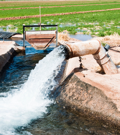
During times of severe drought, Californians rely on the pumping of groundwater to survive. Whenever these periods of intense drought occurs, the ground near water supplies begins to sink. This natural phenomenon, known as subsidence, has been seen over time. The one thing that’s different this time, however, is how severe the sinking of the land in the San Joaquin Valley is.
NASA released a report detailing the sinkage via satellite imagery. This sinking of land is dangerous to infrastructure. Aqueducts, roads, bridges and flood control structures could become compromised. The land near the Delta-Mendota Canal has sunk so much that the bridge is almost touching the water.
“Groundwater acts as a savings account to provide supplies during this drought, but the NASA report shows the consequences of excessive withdrawals as we head into the fifth year of the history drought,” Department of Water Resources director Mark Cowin said in a statement. “Because of increased pumping, groundwater levels are reaching records lows – up to 100 feet lower than previous records. As extensive groundwater pumping continues, the land is sinking more rapidly and this puts nearby infrastructure at greater risk for damage.”
To help combat the problem of subsidence, the Department of Water Resources is launching a $10 million program to help counties with stressed groundwater basins. The funding, provided by Prop 1, will be used to develop or strengthen local ordinances and conservation plans.
As part of Governor Jerry Brown’s Sustainable Groundwater Management Act, the Drought Task Force will be responsible for working with affected communities to develop both short and long-term solutions to address subsidence and the risk to valuable infrastructure.
 California Water News Daily Your Source For Water News in California


