 California Water News Daily Your Source For Water News in California

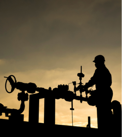
In accordance with Senate Bill 4 authored by former Senator Frances J. “Fran” Pavley (D-27st District-Agoura Hills) in 2013, the State Water Resources Control Board, is now required to develop and implement a regional groundwater monitoring program. The State Water Board has partnered with the U.S. Geological Survey (USGS) to monitor regional groundwater quality in oil production areas. Thus far a study by the USGS has revealed higher than normal salinity levels in groundwater near three oilfields in western Kern County.
The study, released earlier this month in a technical publication of the American Association of Petroleum Geologists, showed groundwater near current and historic oilfield produced-water disposal areas in the Lost Hills, North Belridge, and South Belridge oil fields with increased salinity above natural levels. The study found that the salinity increases are related to the mixing of native groundwater with saline oilfield produced-water discharged to surface disposal ponds and underground injection wells. The study is based on data collected from oil production wells, underground injection wells, and groundwater monitoring wells.
“These regional monitoring findings are essential in helping us gain a better understanding of how groundwater could be affected in areas of oil and gas production,” said Jonathan Bishop, Chief Deputy Director of the State Water Board. “This study provides us new information that the agencies will use to evaluate if additional groundwater investigations are warranted.”
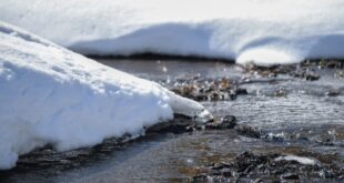
The USGS initiated mapping of the area of the oilfields in 2016 to document the salinity gradients within the aquifer system and record changes near produced water disposal ponds and injection wells. Although the groundwater near these oilfields currently is not a source of drinking water because it is naturally brackish, some farmers use it for irrigation.
“This is the first time in this study we’ve seen direct evidence of disposed water migrating outwards from oilfield underground injection disposal wells in California,” says USGS Geologist and Study Author Janice Gillespie. “Mapping the natural groundwater salinity near the injection sites was the key to figuring out where changes had occurred.”
The USGS study as published can be found through USGS study publication (AAPG Environmental Geosciences, v. 26, no. 3, pp. 1–23) at: http://archives.datapages.com/data/deg/2019/EG032019/eg18009/eg18009.htm. A follow-up publication is expected to be released in 2020 addressing salinity in shallow groundwater near oil fields and agricultural areas using different methods.