Last week the California Natural Resources Agency, California Environmental Protection Agency and California Department of Food and Agriculture signed a memorandum of understanding (MOU) with Pasadena-based Jet Propulsion Laboratory (NASA JPL) that will help state agencies better understand climate change impacts and identify opportunities to build resilience, conserve biodiversity and use California’s natural and working lands to store and remove carbon from the atmosphere.
The agencies and NASA JPL will explore opportunities to use data to better forecast and combat climate-driven impacts such as sea-level rise, extreme drought, wildfire risk, severe storms and depleted groundwater basins. They will also assess how space-based observations and models can inform actions to address impacts on agriculture and food security and to evaluate carbon emissions, stocks and sinks.
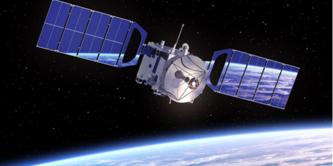
“JPL is among the world’s leaders in understanding our planet and the impacts occurring due to climate change,” California Secretary for Natural Resources Wade Crowfoot said. “We’re excited to see this collaboration that will enable JPL’s remote-sensing satellites aerial imaging and ground-based monitoring to improve California’s ability to protect communities and nature and lead the world in combating climate change and species loss.”
“With this MOU, we’re excited to further our collaboration with the state, using technology to scale up measurements to tackle the challenges of the coming decades,” JPL Director for Earth Science Jim Graf said. “JPL’s unique air- and space-based science can provide California the much-needed data to keep our ecosystems and forests healthy, manage our limited freshwater resources and aid efforts to keep our agricultural sector thriving.”
The collaborative relationship with NASA JPL will provide useful remote-sensing information in critical areas including, but not limited to the following:
- Drought, snowpack, rising temperatures, groundwater volumes, severe storms and flooding, and other climate change augmented challenges
- Air pollutant and GHG emissions
- Climate exacerbated food security and agricultural production issues
- Forest health, resilience, impacts from pests and disease
- Harmful algal blooms, sea-level rise, ocean acidification, plastic pollution fate and transport
- Land surface change impacts related to earthquakes, Subsidence, landslides, groundwater overdraft, fire, etc.
- Combining remote sensing data and modeling with state collected ground-based monitoring data
- And issues such as data management, big data model development, the use of artificial intelligence to improve modeling accuracy and precision, etc.
 California Water News Daily Your Source For Water News in California


