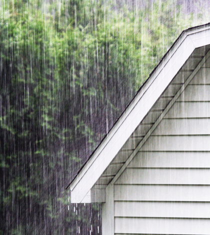
Thus far many people are saying no, but with the series of storms now pounding California maybe they have spoken too soon.
Historically, late spring storm patterns dubbed “March Miracles” helped ease dry spells in 1991 and 1995.
With six weeks left in California’s “rainy season” the Bay Area is being drenched with storm after storm thanks to an “atmospheric river,” a tendril of moisture moving in from the tropics. This weekend’s rain started in the Philippines and crossed a third of the planet before reaching our shores.
This year, rain totals have varied throughout the state. While northern California has had above average precipitation, southern California still seems to be gripped by drought.
But for the California drought statewide—the one measurement that shapes policy and agricultural output—is the status of the reservoirs. Experts believe that at the end of this pattern, California’s reservoirs could likely be at normal levels at last.
The Sierra Nevada Mountains could fair even better. The snowpack (which normally stores 30 percent of California’s water supply) has been doing well. At the end of January, it sat at 110 percent of normal.
Two to four feet of snow are expected for this latest series of storms and more rain is forecast this weekend and throughout March.
Officials say bringing the state out of drought would require snowpack at 150 percent of average by April 1.
Forecasters expect as much as 7 inches of rain in Northern California in the coming days and heavy snow in the mountains which could go a long way towards easing the California drought.
 California Water News Daily Your Source For Water News in California


